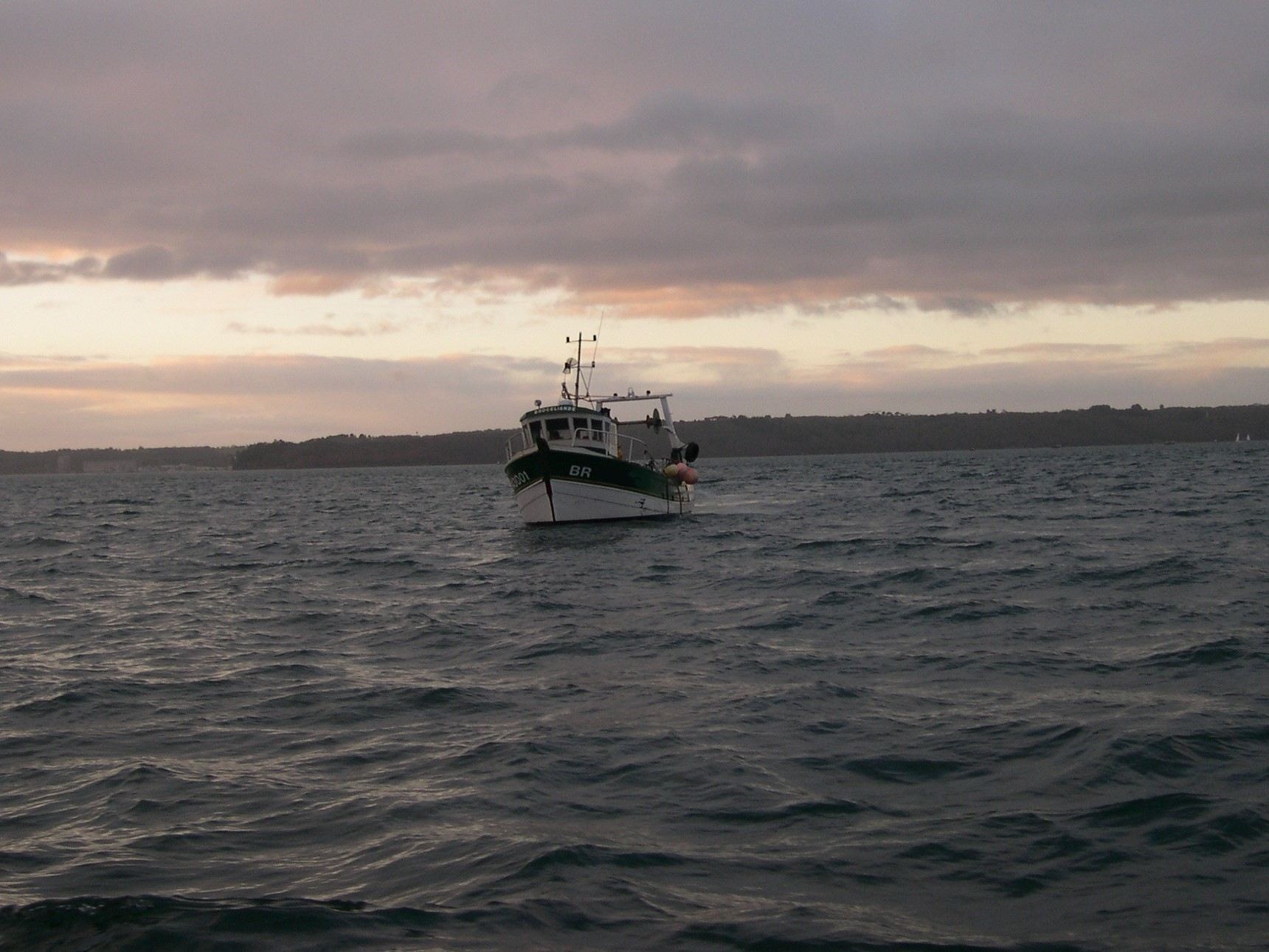
Fine scaled estimates of fishing effort are necessary in order to provide relevant information for resources management and to characterise the potential impacts of fishing on species and habitats.
Knowledge on the fishing activities with high-resolution, from spatial, temporal and quantitative points of view, is a challenge for professional fishing and for the implementation of specific public policies.
To address this, Geo4Seas proposes a set of solutions to identify fine-scale fishing areas and characterize the intensity of fishing using heterogeneous data (Le Guyader, 2012, Le Guyader et al., 2017):
- regulatory information
- key informants’ data,
- AIS data,
- landings data,
- …
References
Le Guyader, D. (2012). Modélisation des activités humaines en mer côtière (Université de Bretagne occidentale). http://tel.archives-ouvertes.fr/tel-00717420
Le Guyader, D., Ray, C., & Brosset, D. (2017). Identifying small-scale fishing zones in France using AIS data. In C. Ducruet (Éd.), Advances in Shipping Data Analysis and Modeling : Tracking and Mapping Maritime Flows in the Age of Big Data (p. 448).
Le Guyader, D., Ray, C., Gourmelon, F., & Brosset, D. (2017). Defining high-resolution dredge fishing grounds with Automatic Identification System (AIS) data. Aquatic Living Resources, 30(39). doi: 10.1051/alr/2017038

