Maritime transport, port occupancy and environmental inequalities in the Caribbean
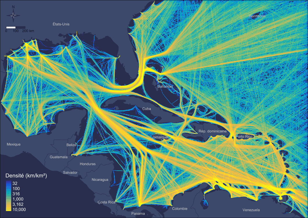
This project aims to produce a core data base on the knowledge of maritime traffic, in order to better understand the interactions between maritime navigation and the environment on two complementary scales, the Caribbean Basin and the French West Indies ports. The project is part of the work carried out since 2016 in the Observatoire Hommes-Milieux Littoral Caraïbe (Labex DRIIHM). This project is led by the UMR LETG laboratory.
Geo4Seas contributes to this project by providing its expertise in geomatics, and by the multi-scale analyses of maritime traffic in the Caribbean Basin, based on AIS (Automatic Identification System) data.
This project is funded by the Fondation de France as part of its programme dedicated to the coastal zone.